| UTV Ride on the Strawberry Pass Trail
Strawberry Pass Trail – Eldorado Forest
September 2009
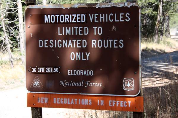
Please Note: As of May 2016, this trail has been closed by the Forest Service due to environmental lawsuit. It is hopeful the trail will reopen by 2017, but until then, please do not use this trail.
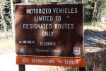
All dirt trails in the Eldorado National Forest are closed from January 1 to March 31 each year as well.
******
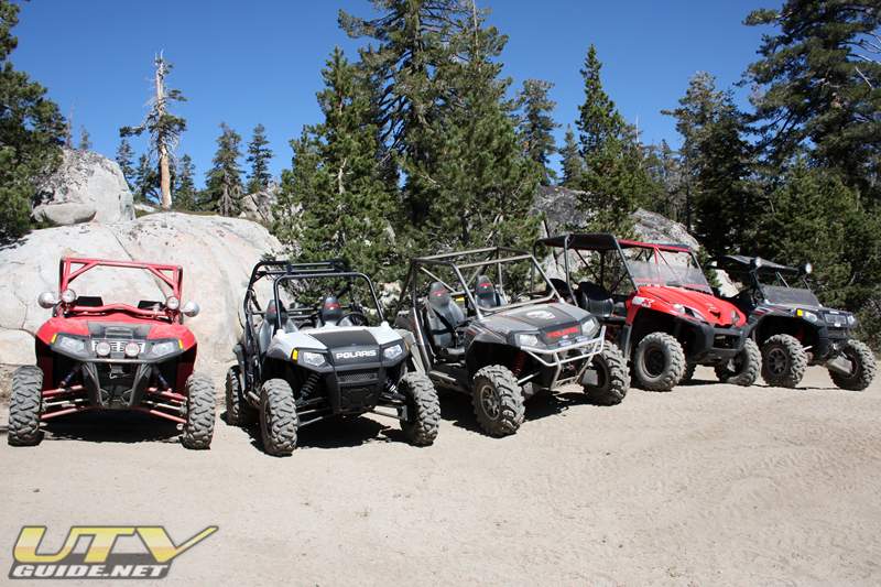
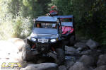
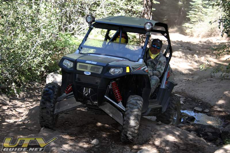
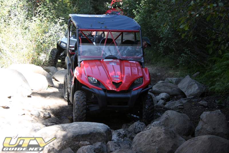
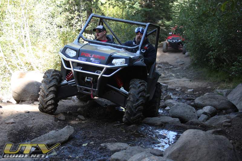
We took three Polaris RZR S’s, one long travel Polaris RZR and a Kawasaki Teryx up to Strawberry for a day trip on the Strawberry Pass Trail. The trail starts near Strawberry on Highway 50 at about 6,000 ft. and climbs to over 8,500 ft. at the overlook. The trail then continues down to Caples Lake and Highway 88.
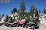
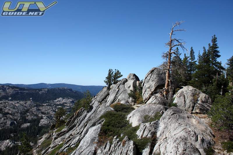
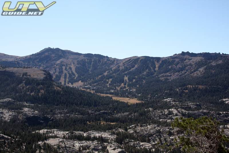
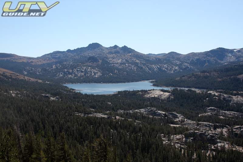
The Strawberry Pass Trail climbs up through some beautiful parts of the Sierra’s and once you hit the top of the pass, you are rewarded with some incredible views of Kirkwood Ski Resort and Caples Lake.
 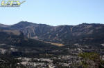 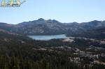
Views from the overlook at the top of Strawberry Pass Trail
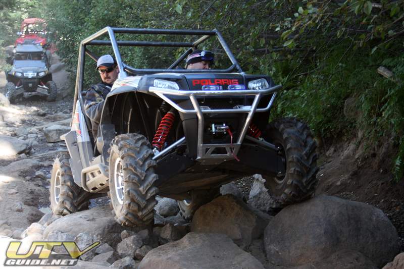
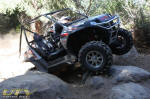
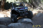
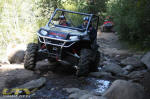
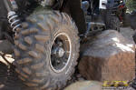
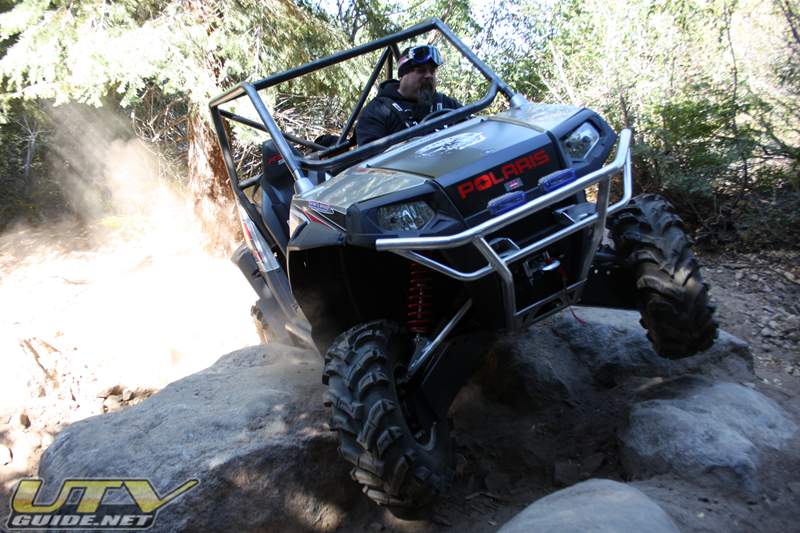
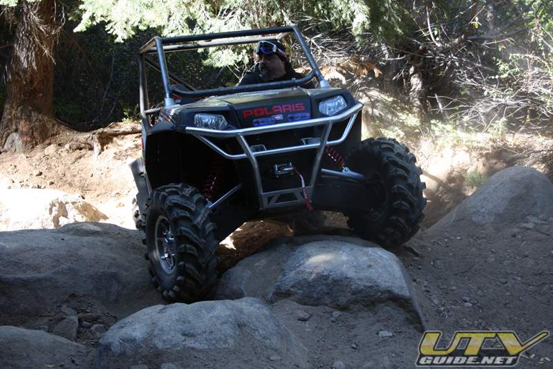
There are a few obstacles that require a little attention, but all of our UTVs made it through without much of an issue.
Camo from Pirate4x4.com hooked up with us to try out our 2010 Polaris RZR S. Look for a recap on his experience on Pirate4x4.com.
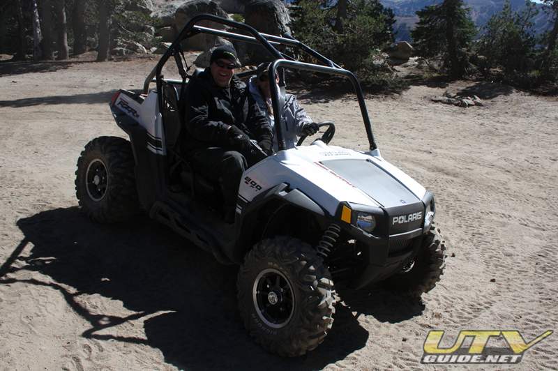 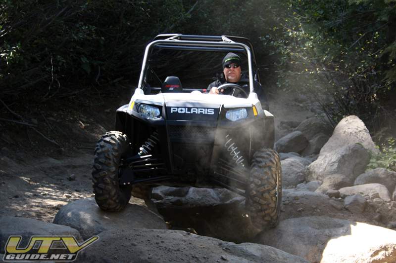
Test drive of our 2010 Polaris RZR S
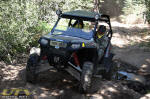
Bob from Roggy Enterprises led us on the trail. He was driving Sam’s 2009 Polaris RZR S that was sporting one of his brand new RZR roll cages.
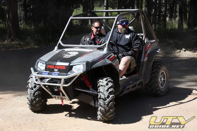 
Bob and Sam sporting a new roll cage.
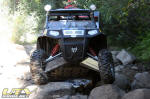
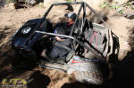
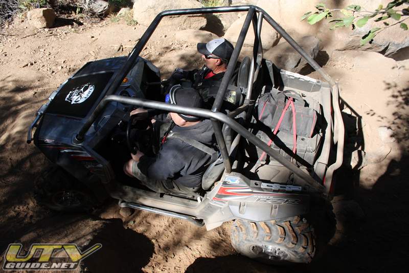
This was the first trip with my newly installed Holz Racing Products Stage III Polaris RZR Big Bore Kit. I was very impressed with the tuning and the extra power. I had no problems even up to 8500 ft. elevation. The extra power was nice and the clutch modifications performed well on the rocks. I can’t wait to try it out in the dunes.
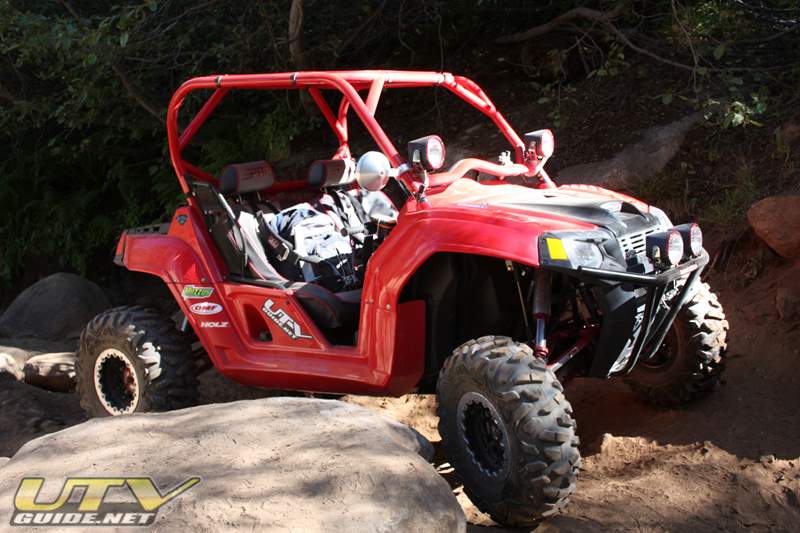
Our 2008 Polaris RZR
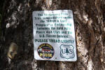
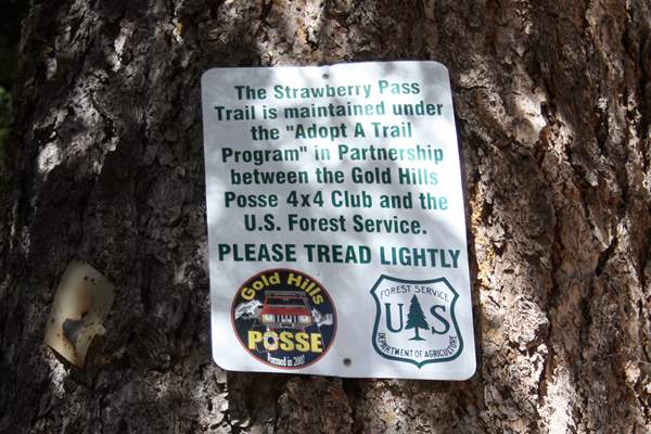
The Strawberry Pass Trail has been adopted by the Gold Hills Posse 4×4 Club. Please do your part to help keep this trail open – stay on designated routes and keep the trail clean.
Photos:
Directions:
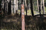
From Highway 50, take the 42 mile tract exit then across the bridge. This will turn into 11N19. At GPS Coordinates +38° 46′ 6.20″, -120° 6′ 37.95 (Google Maps), take 17E73.
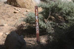
From Highway 88, the trail is Strawberry Creek (10N13) near the Cal Trans Caples Lake Maintenance Station.
Google Maps:
Links:
|


No Comments