
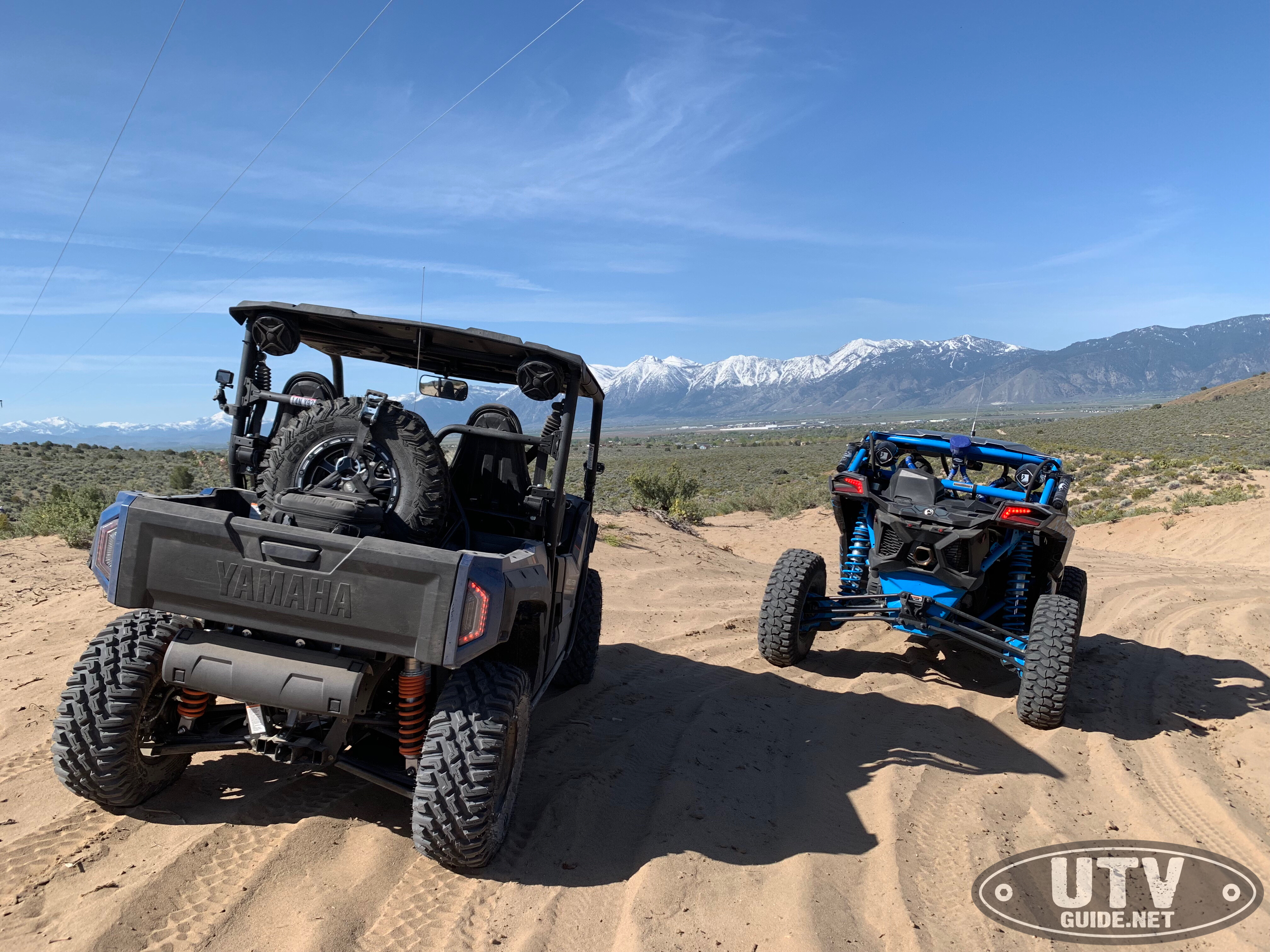
By Jon Crowley
The Pine Nut Mountains are a north-south mountain range in northwestern Nevada, stretching over 30 miles north-south from Highway m50 near Dayton, Nevada to Nevada State Route 208, about 4 miles north of Topaz Lake. The mountains spread only about 10-12 miles wide throughout most of the range.
The Pine Nut Mountains consists of almost 100,000 acres of BLM land, with many trails available to OHV use. The topography of the Pine Nut Mountains ranges from rolling hills (approximately 5,000 feet) to over 9,000 feet at the tops of the tallest peaks (Mount Siegel 9,456 ft, Oreana Peak 9346 ft, and Galena Peak 9416 ft.).
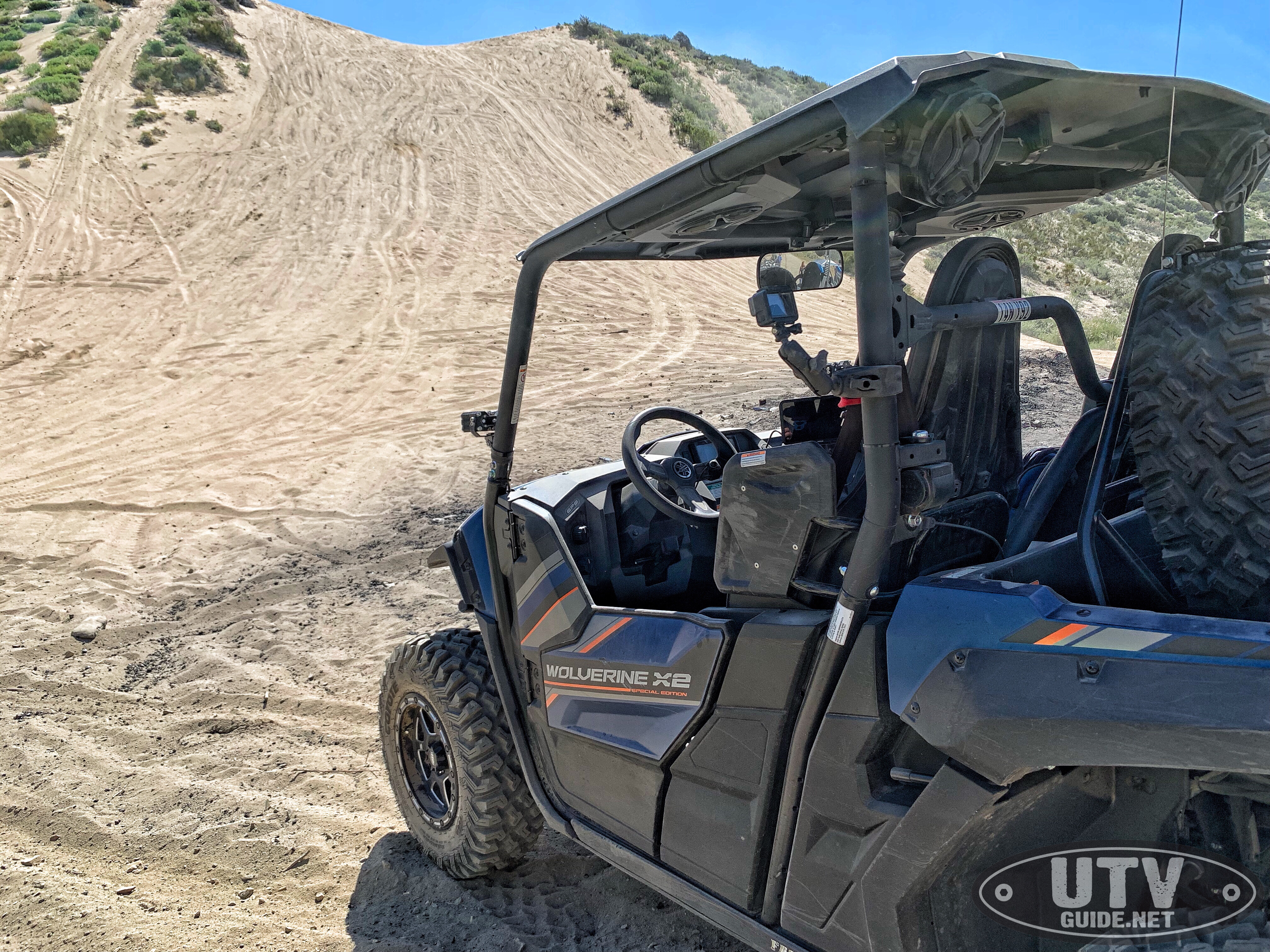
“Horsepower Hill”: near Brunswick Canyon Rd. and Bunker Hill Mine Rd.
Temperatures can exceed 100 degrees Fahrenheit at lower elevations during July and August and can drop to as low as 10 degrees during December and January. Average annual precipitation is strongly influenced by elevation and varies from six to 16 inches.
The most popular OHV access is in Minden at the end of Johnson Lane, but there are access points all around the Pine Nuts.
Johnson Lane OHV Staging Area
Johnson Lane OHV Staging Area GPS Coordinates: 39.027196, -119.704318
Johnson Lane OHV Staging Area Directions: Highway 395 to east on Johnson Lane. Continue on Johnson Lane until pavement ends. Staging area is in the dirt at the end of the pavement. Dry camping is allowed.
Sunrise Pass Road
After Johnson Lane becomes a dirt road, it turns into Sunrise Pass Road. This main road connects to a number of other trails that feed north and south farther into the Pine Nuts. Sunrise Pass Rd. leads into mountainous terrain and over Sunrise Pass, which eventually leads to Wellington and Yerington. Brunswick Canyon Rd. and Eldorado Canyon Rd. heads north off of Sunrise Pass Road.
https://www.facebook.com/UTVGuide/videos/400285773896870/
Mount Siegel is the highest point in the Pine Nut Mountains and is a great destination ride from Johnson Lane OHV Area. The most direct route is via Lone Pine Canyon Rd, but you can also get there from farther north off of Sunrise Pass Rd at GPS 39.069483, -119.550378. You cannot actually drive to the top of the peak, but you can get to Galena Saddle below the peak at GPS 38.886259, -119.503776, then hike to the top from there.
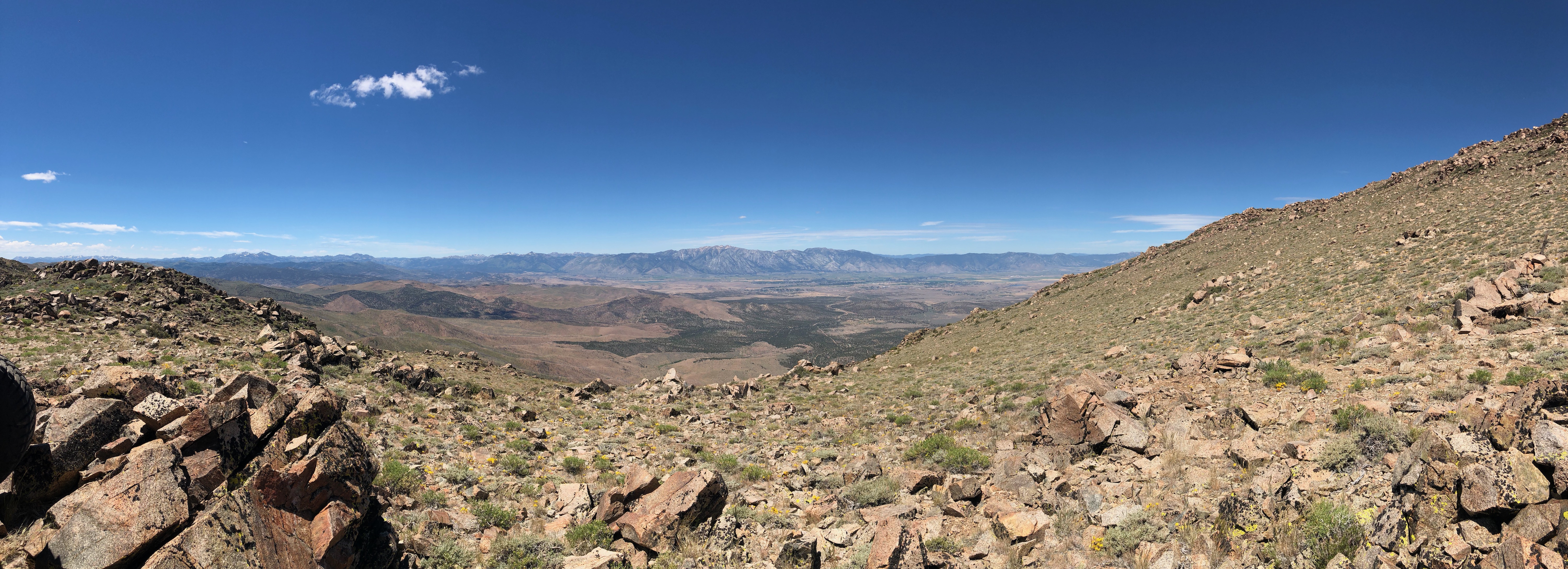
View from Mt. Siegel into the Carson Valley
The Johnson Lane area is pretty busy on weekends during nice weather, so be careful on narrow roads.
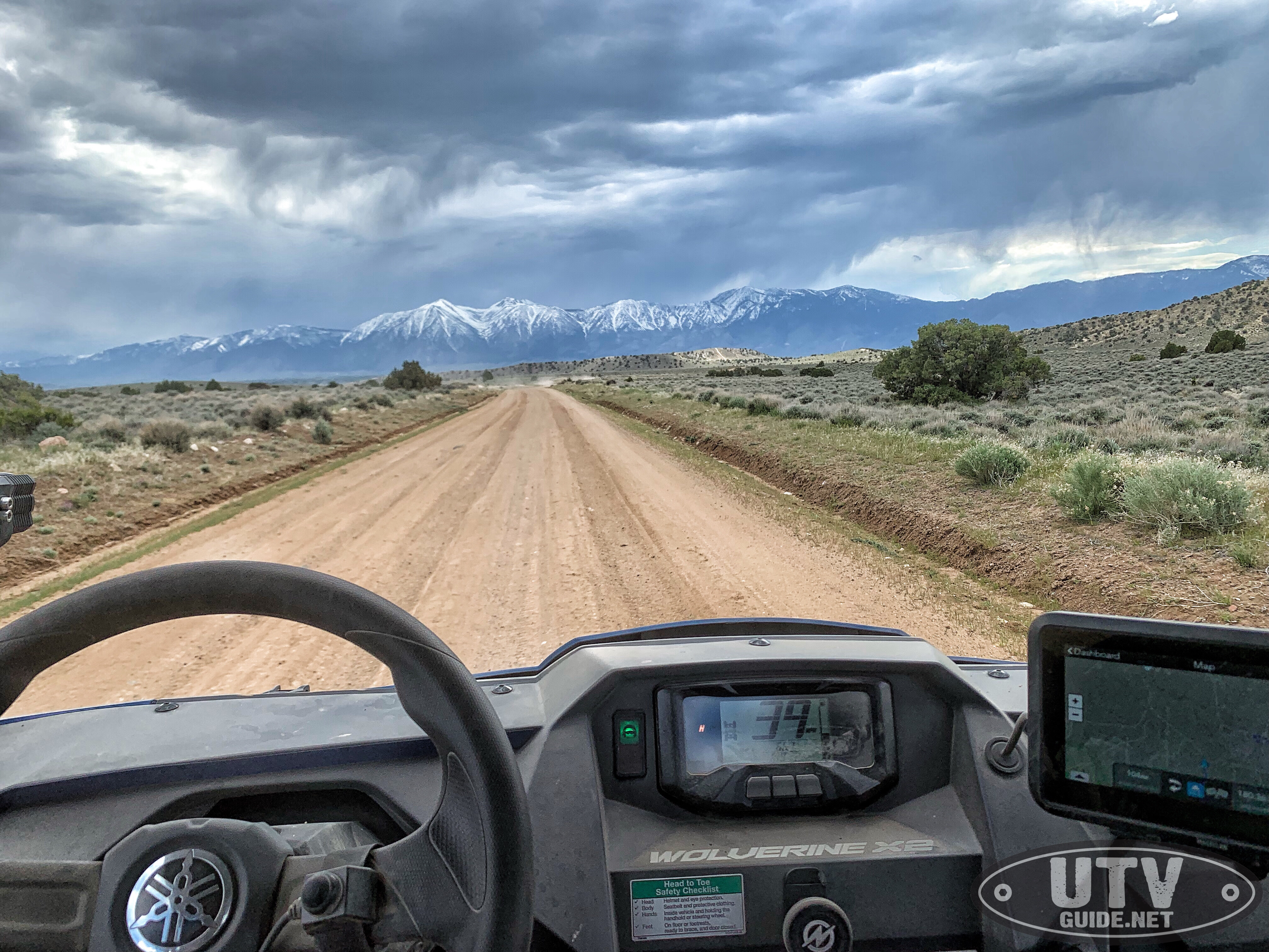
Heading west on Sunrise Pass Road towards Minden, NV
Responsible recreation is essential to ensure your public lands remain open to multiple uses. Please remember to stay on existing routes and practice “Leave No Trace” principles while enjoying your public lands.
More Northern Nevada OHV Resources