By Jon Crowley
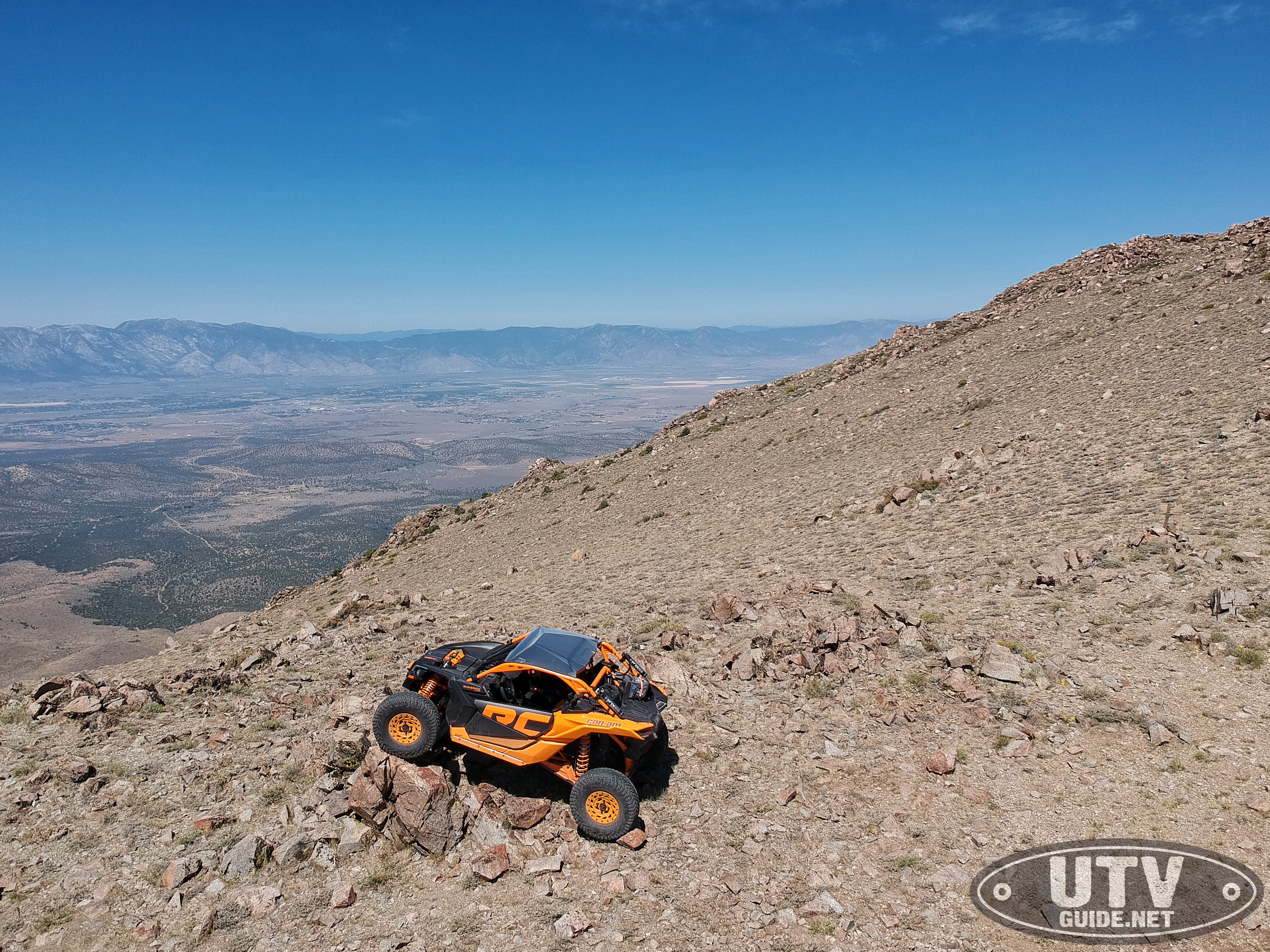
Mount Siegel lies just southeast of Carson City Nevada in the Pine Nut Mountains and is an easy few hour day trip from Minden. I wanted to break in our new 2020 Can-Am Maverick X3 X RC, and decided to connect up with the guys from Bombshell Gear on a Sunday to explore the area.
I love to ride to the tops of mountains and soak up the views, and Mount Siegel is a great summer ride spot. Mount Siegel is the highest mountain in the Pine Nut Mountains. The elevation at the top is 9,456 feet, and the GPS coordinates are 38°53′22″N 119°30′08″W (Google Maps: 38.889564,-119.502187 ).
From the Johnson Lane OHV Area in Minden, you can take Sunrise Pass Road east. Then there are several ways to get there.

Pine Nut Mountains Trail Marker
We took Sunrise Pass Road to P10 to P16 to P14 on the way there. On the way back we stayed on P14 to Sunrise Pass Rd. Most of the “main” trails are marked by BLM, but there are other trails that aren’t that can get you there. Just make sure you stay on existing trails.
Relive ‘Mt. Segal’
The last climb off of P14 to the top is very steep, and cannot be done until the snow has melted (remember that it is over 9,000 feet).
The views from the top are epic! You can see the entire Carson Valley to the west. And to the east, you’ve got a good view of Smith Valley and even a bit of Yerington way out there.
You can also approach Mount Siegel from the south or east from Smith Valley.
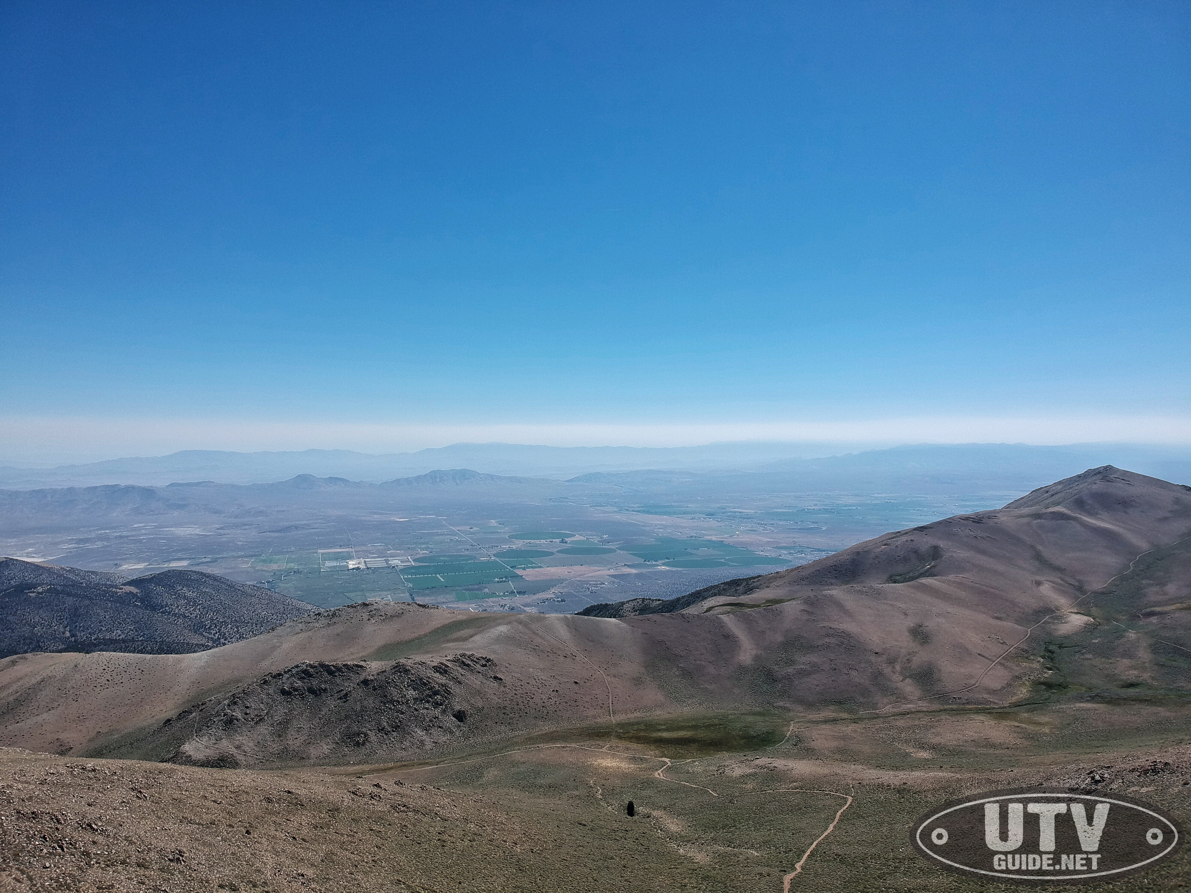
View of Smith Valley to the East
BLM does have a Pine Nut Mountains Off-Highway Pocket Guide that lists all the main marked trails that is a great asset if you are going to explore the area.

Magellan TRX7 GPS
We used a Magellan TRX7 in our Maverick X3 and it had most of the trails on there, but they were not marked. Would be great to have the GPS match the trail signs (eg P10) .