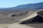
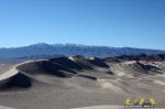
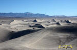
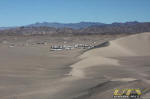
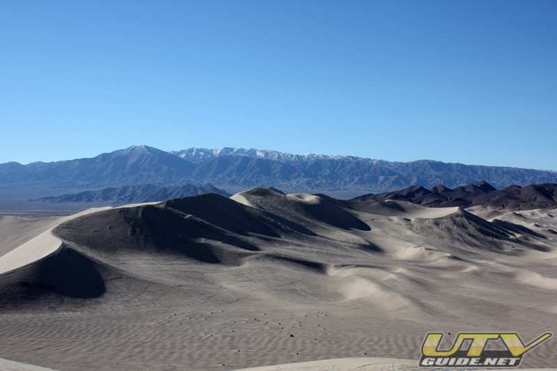
Dumont Dunes
December 2008

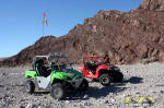
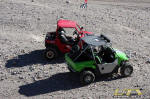
In the Dunes
  
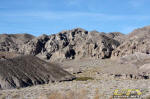
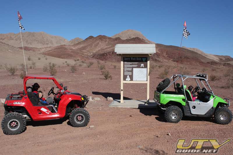
Sperry Wash
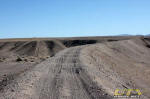
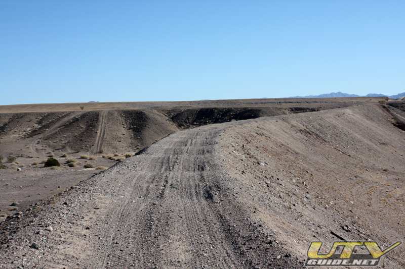
The Sperry Wash Route provides a unique opportunity for users camped at Dumont who are willing to put dirt tires on their vehicles. The route goes all the way from Dumont Dunes Road near the creek crossing (right before the pay station) to Tecopa.

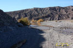
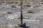
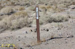
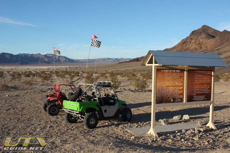
At the trailhead near Dumont Dunes
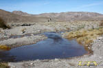
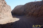
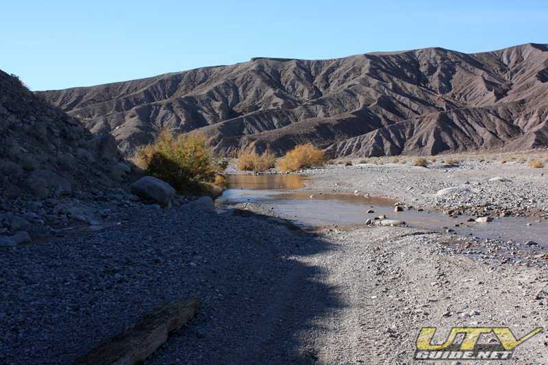
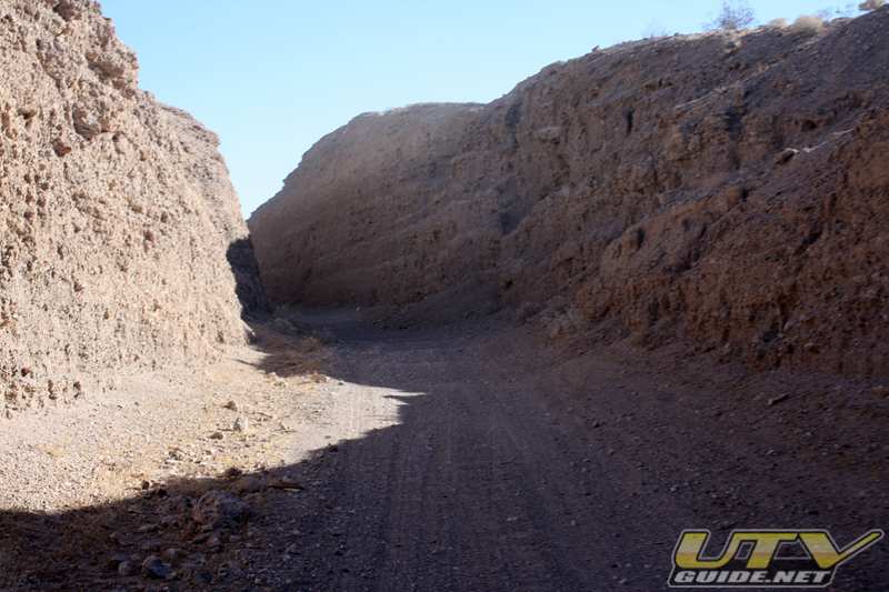
Sperry Wash follows the Amargosa River for about 5 miles,then at the town site of Sperry, the trail leaves the Amargosa River bed and travels up Sperry Wash.
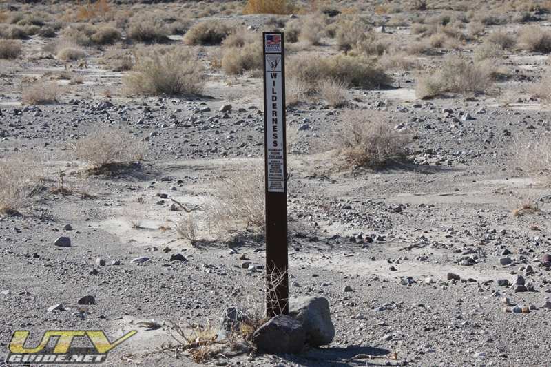
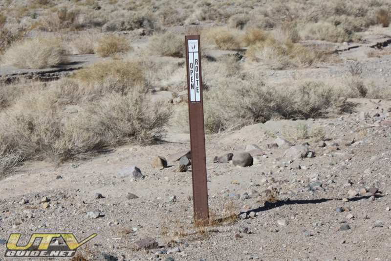
The Sperry Wash Route is a non-wilderness corridor that is open to OHVs. Area on both sides of the trail are closed to vehicles due to Kingston Range Wilderness Area. The Kingston Range Wilderness Area covers 210,875 acres and is divided into three units by non-wilderness corridors or “cherry stems”: Sperry Wash and Kingston Wash.
Tonopah & Tidewater (T & T) Railroad Grade. The grade is washed out in many places near Sperry Wash so use care.
The Tonopah and Tidewater Railroad was a class II railroad extending through remote reaches of the Mojave Desert at Ludlow, California, through Death Valley and terminating at the mining camps of southwestern Nevada. The railroad was listed as a common carrier but was built by Francis Marion Smith primarily to transport his borax. The Tonopah & Tidewater Railroad operated between 1907 and 1940. In 1940, the Tonopah and Tidewater Railroad was “abandoned in place” and the tracks were removed in 1942.
Heading south from Beatty, the line passed through Gold Center, Ashton and Leeland, NV, and Jenifer, Scranton, Bradford, Death Valley Jct., Evelyn, Gerstley, Shoshone, Zabriskie, Tecopa, Acme, Sperry, Dumont, Valjean, Riggs, Silver Lake, Baker, Soda, Resor, Crucero, Mesquite, Broadwell and Ludlow, CA (map of this route).
Salt Creek Hills and Amargosa Spring
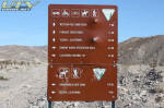
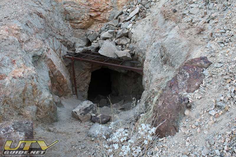
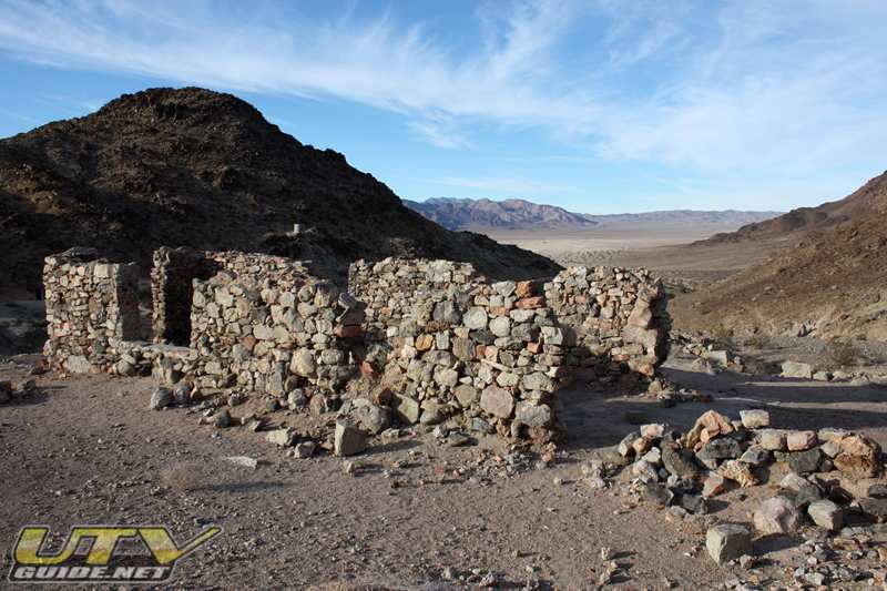
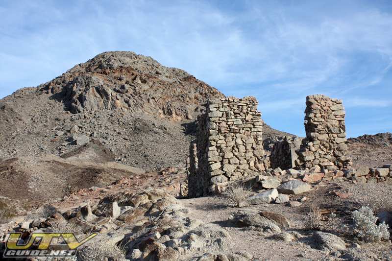
Salt Creek Hills are on BLM land and have been designated an Area of Critical Environmental Concern (ACEC). The ACEC is open to non-motorized use only, no OHVs are allowed. It is a short walk up the path from the parking area to the mining area and the Amargosa House. There are several signs along the path explaining the area.

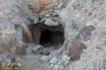 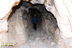 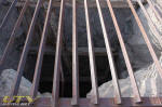
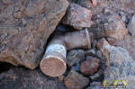
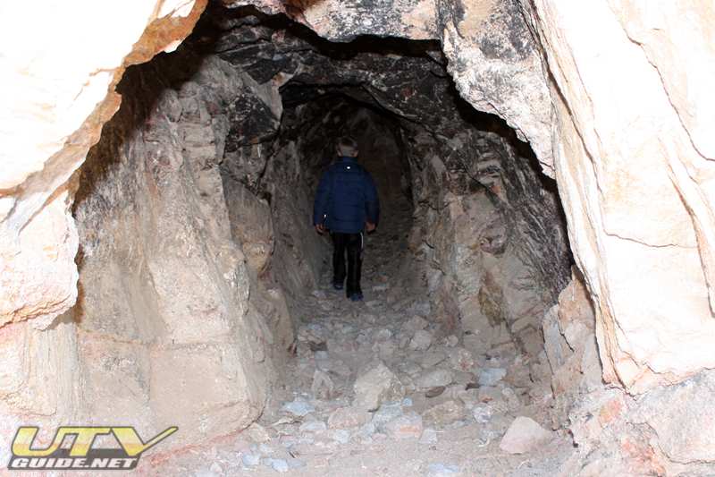
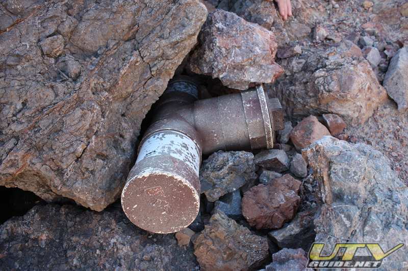
Lots of old mine shafts are scattered throughout the area.
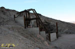 
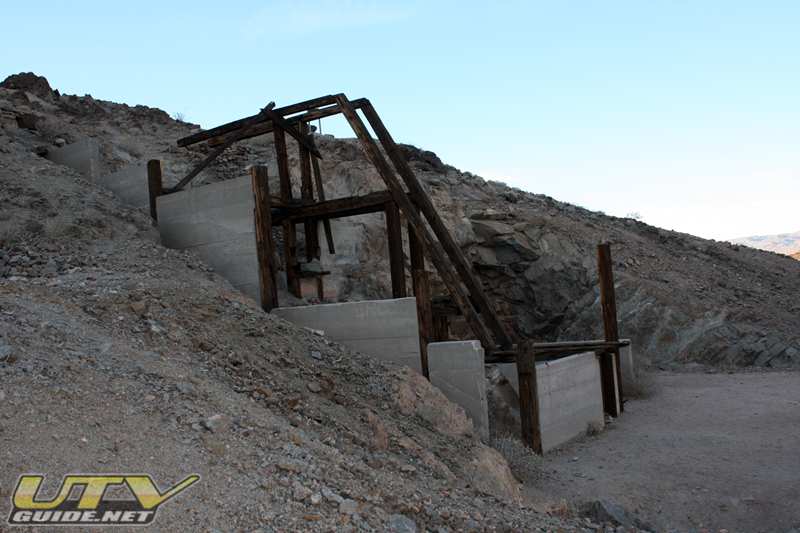
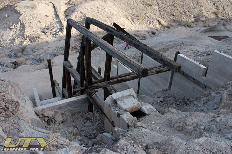
Stamp mills were used to extract precious metals such as gold or silver from ore. The stamps were heavy metal weights that were lifted and dropped on the ore by a crankshaft. The stamp mill here was build in the 1880s.

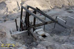
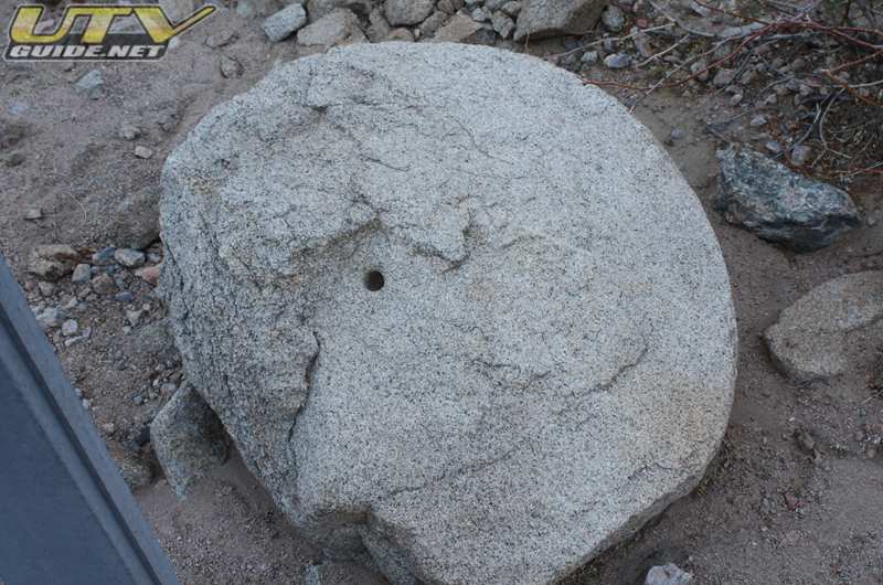
Chilean-style Arrastres were used to crush ore to extract precious metals. Three arrastres were known to exist here, but this is all that remains.
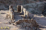  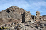
Amargosa House may be the oldest standing structure in the Mojave Desert. It was orginally constructed between 1850 -1852
There are several reports of two massacres at Amargosa House / Salt Spring Mine:
In October 1864, three miners named Cook, Plate and Gordon were reportedly attacked by a roving band of Chemehuevis. Cook was killed and the mine was burned. The other two escaped into the desert, but committed suicide twenty miles away.
A new company took over the mine in late 1864. Eight miners were working the claims and noted a Paiute band camped nearby at Sheep Creek Springs. One of the miners made his way to Marl Spring, 45 miles south near present day Kelso to summon help from the military. The military send a relief party which arrived too late. The seven remaining miners, not realizing that help was on the way, tried to make a pre-dawn escape, scattering as they fled. They were easily spotted by lookouts and all seven were slain.
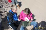
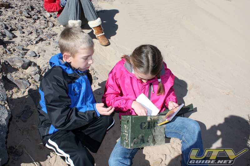
Geocaching
While at Dumont, we decided to do a bit of geocaching. There are lots of caches hidden around the dunes (Dumont Cache Map).
Links
|


No Comments