By Jon Crowley
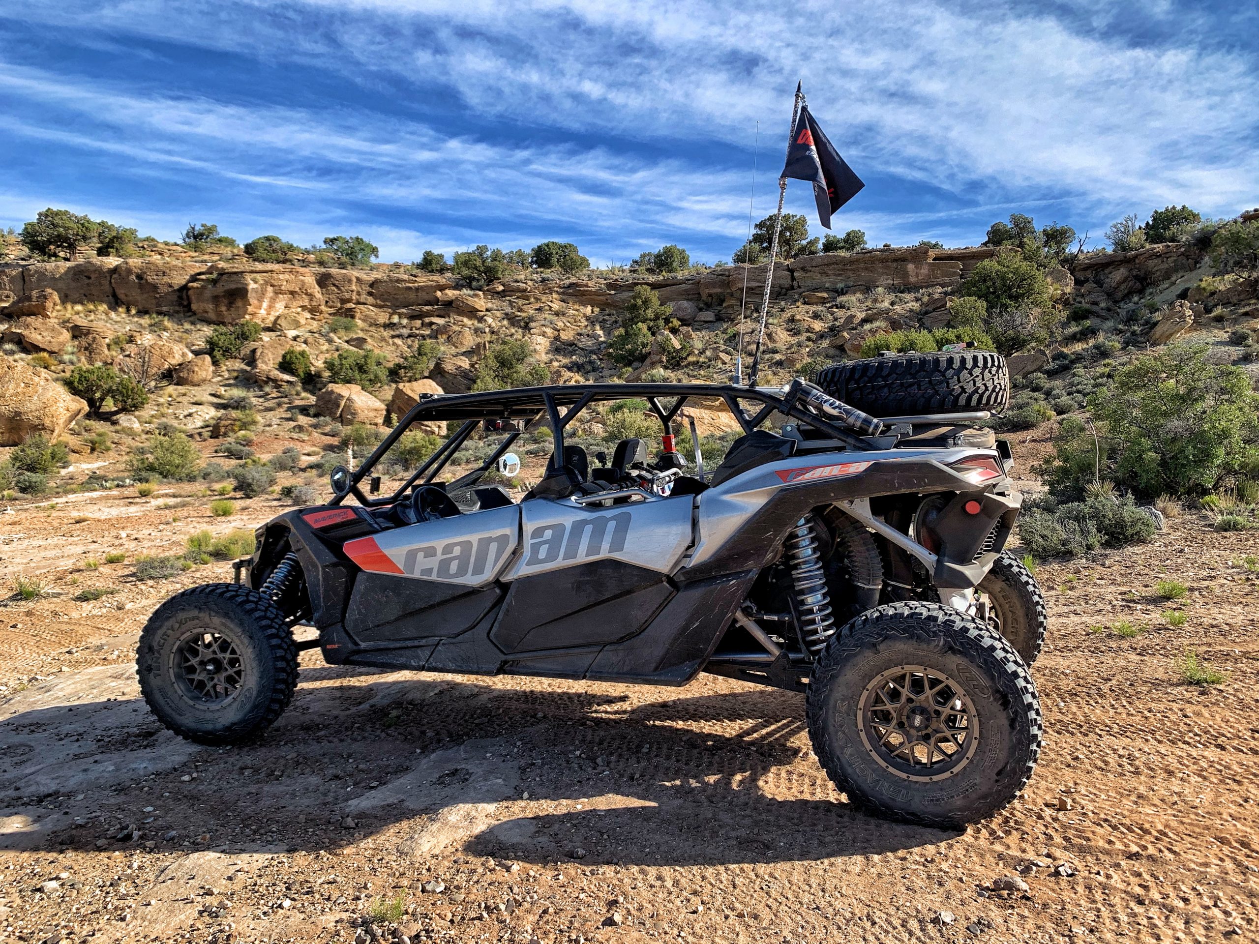
Awesome destination rides are what makes off-roading so cool and UTVs allow us to get there quicker and more comfortably that in a Jeep, SUV or truck. While on a Four-Day Southern Utah Adventure Ride, we camped above Lake Powell on the Grand Bench.
Grand Bench is a 10 mile long finger mesa that runs southward into Glen Canyon and the easiest way to reach it is from Big Water, Utah.
Big Water Utah to the Grand Bench above Lake Powell
From Big Water, it is just over 54 miles all the way to the end so make sure you have enough fuel, water, food and supplies to get you back out. At Big Water, you take Smokey Mountain Road which is a decent graded road. At mile 18 you’ll hit the turnoff to Alstrom Point.
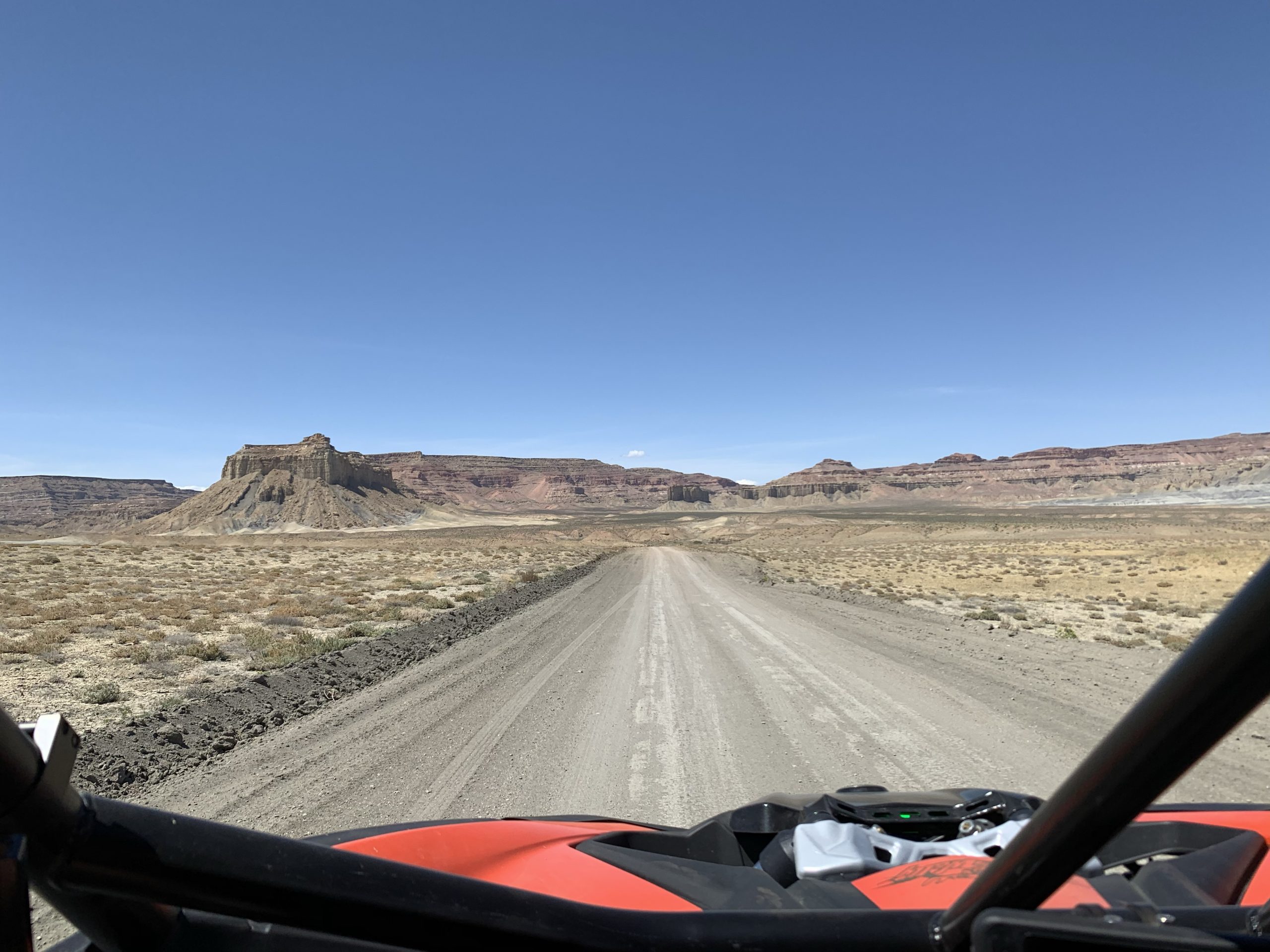
Smokey Mountain Road
Alstrom Point is a much easier destination, and therefore more popular. If you aren’t as adventurous, Alstrom Point is a great alternative to the Grand Bench.
If you’re destination is the Grand Bench, keep going on Smokey Mountain Road. Just before mile 36, you will hit an intersection. This is where Grand Bench Road starts to the right or you can head left on Croton Road.
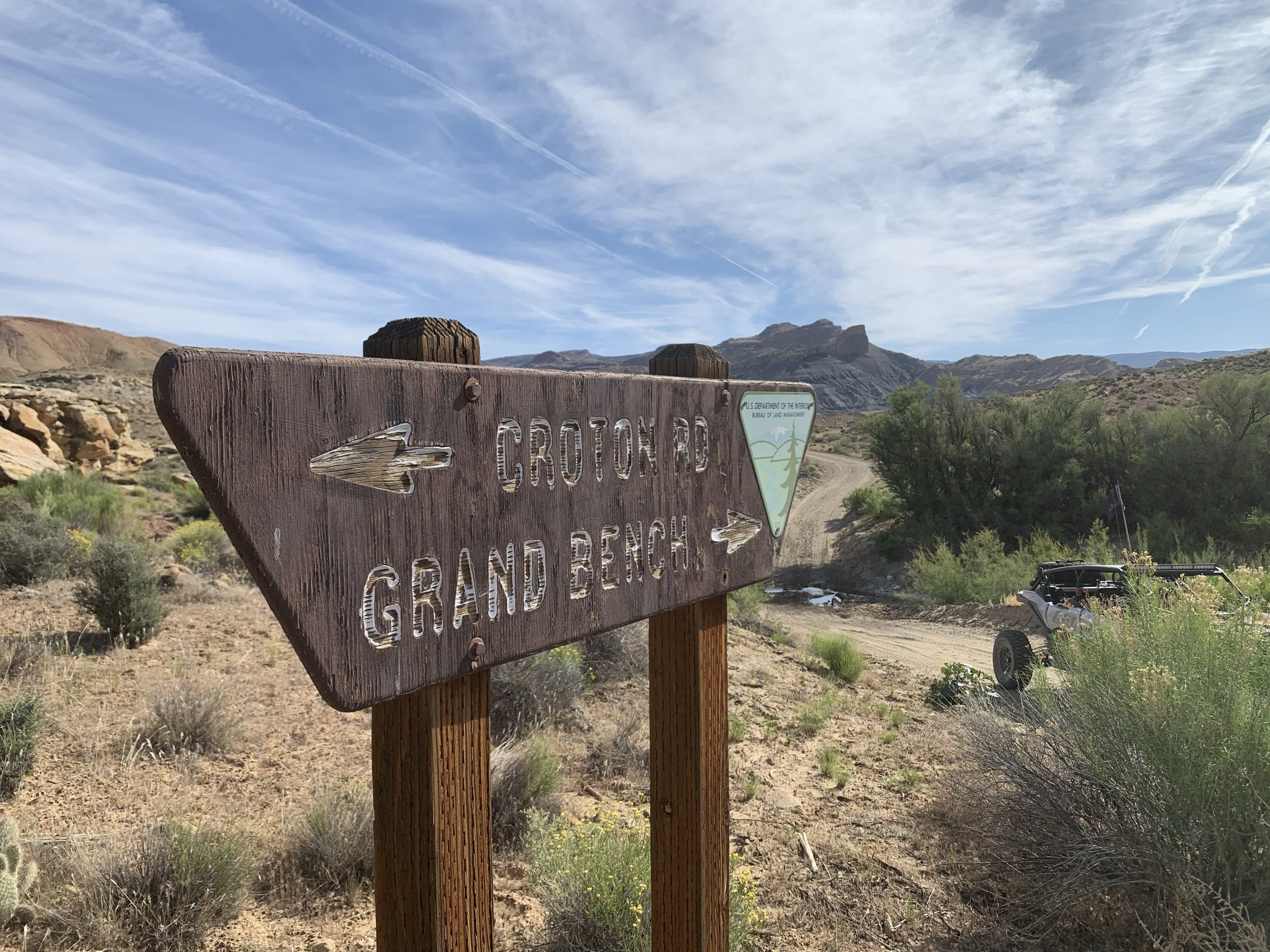
Intersection at Grand Bench Road and Croton Road
From this point to the end of Grand Bench Road is just over 18 miles and the road becomes much more difficult for street vehicles. Just past a remote ranch setup you enter Little Valley Canyon and the climb out is definitely a 4-wheel-drive low range kind of climb.
The climb out of Little Valley Canyon is the hardest part of the trail.
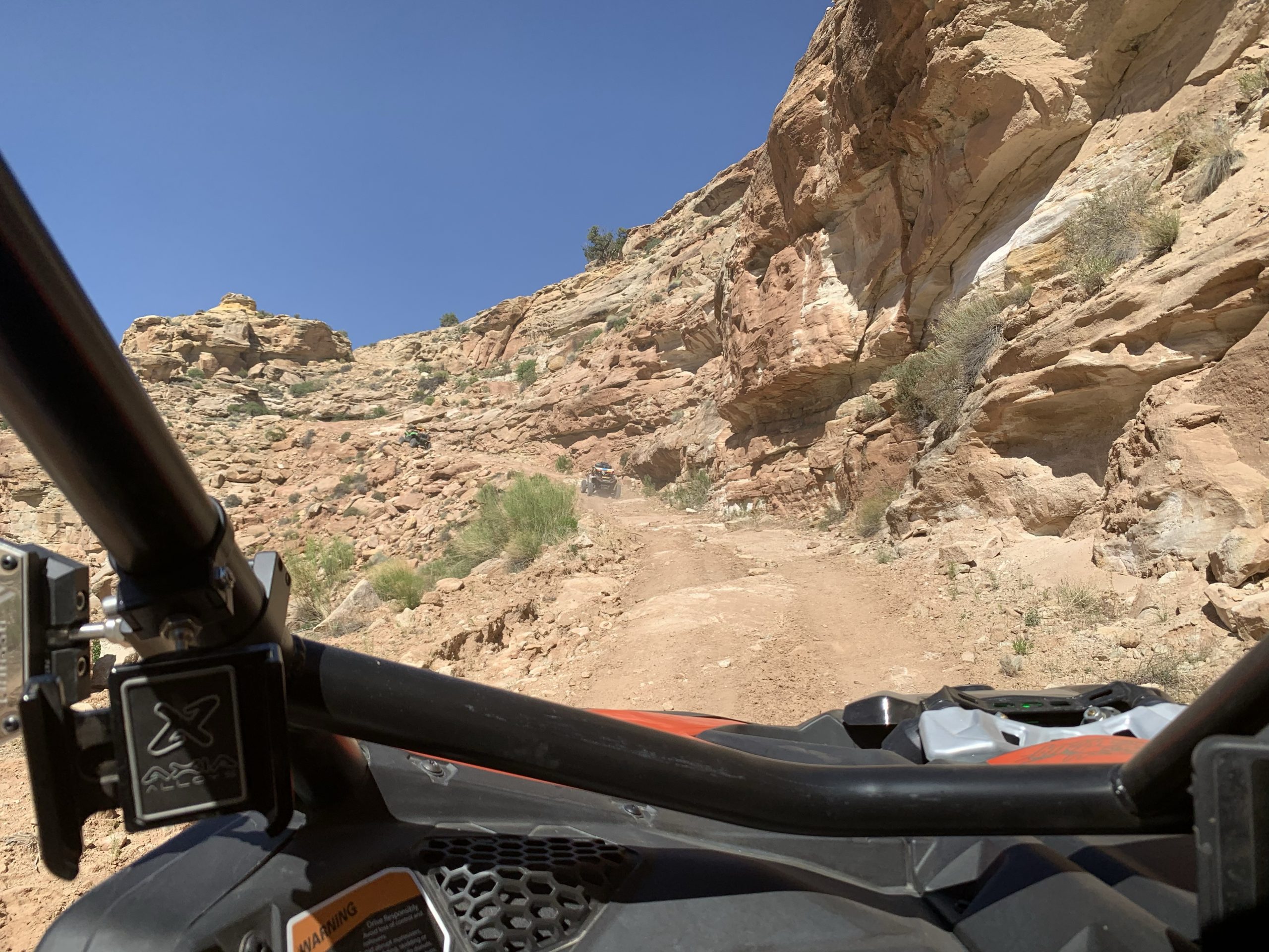
Little Valley Canyon
From here you are back in high range, but not out of the rocks for several more miles. You continue climbing until you reach a cherry-stemmed route that goes left into the Fiftymile Mountain Wilderness Study Area. We did not explore this route, but it looks very interesting.
Near the turnoff to head into the Fiftymile Mountain Wilderness Study Area
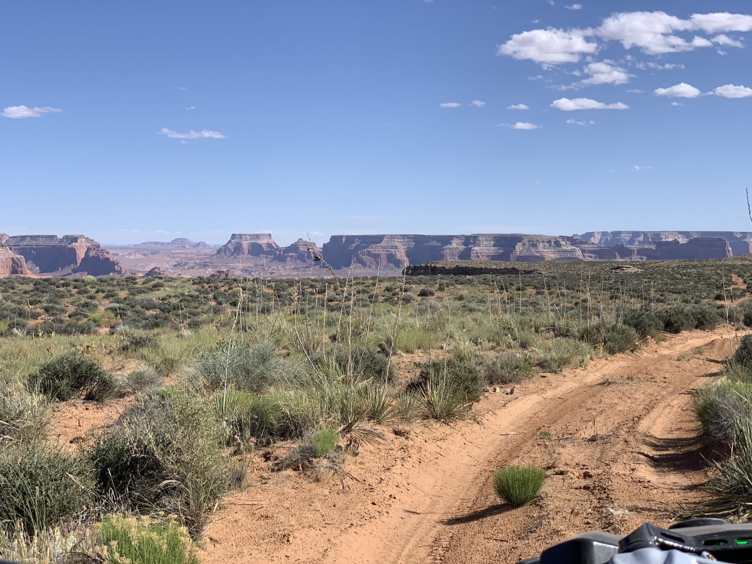
To head to Grand Bench, you stay right and head down onto the mesa and out destination at the edge of Lake Powell. For the next few miles, the road continues to be a little rough, but still high range type driving in a UTV.
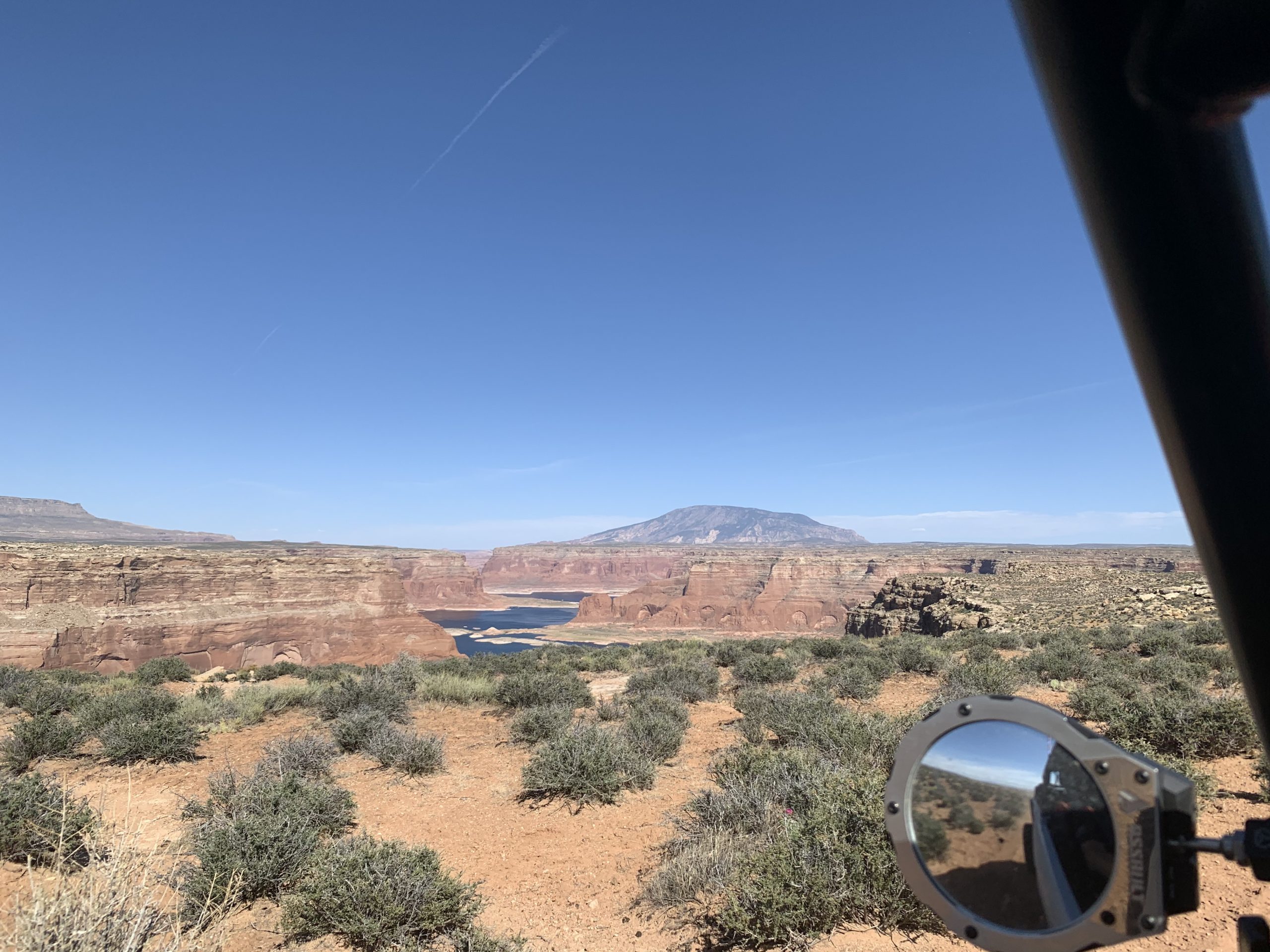
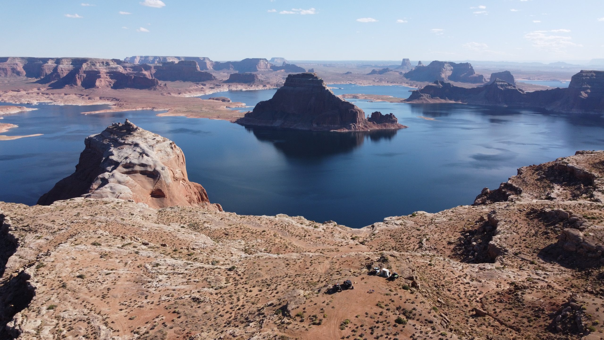
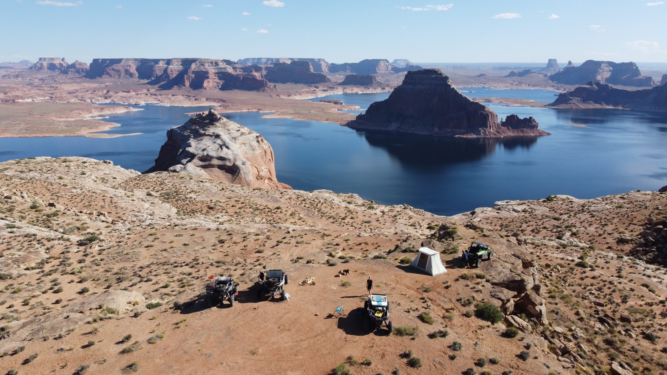
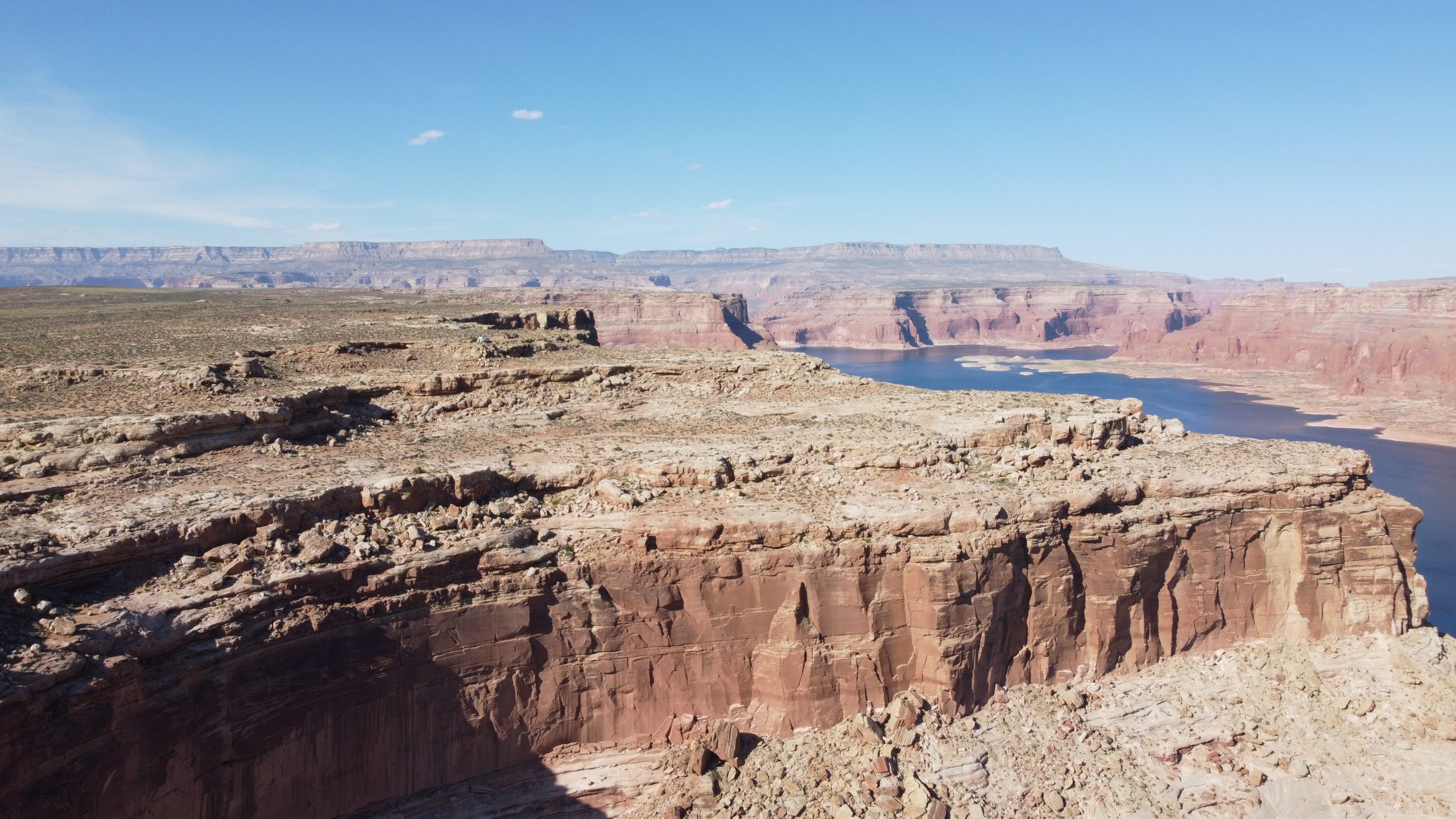
Grand Bench, Glen Canyon National Recreation Area
The last few miles of Grand Bench Road is mostly sand and must faster.
Grand Bench, Glen Canyon National Recreation Area
The end of Grand Bench Road is at GPS Coordinates 37.07837, -111.21771.
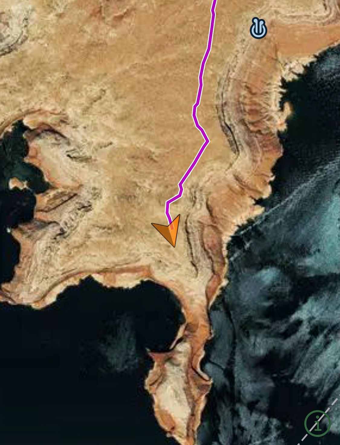
We used the Gaia GPS app to route us into the Grand Bench.
Elevation here is about 4,700 feet and you are several hundred feet above Lake Powell.
Grand Bench, Glen Canyon National Recreation Area
You can camp right there at the end of the road. There is no protection from the wind or sun, but the view is absolutely spectacular.
Grand Bench above Lake Powell
The lake is about 1,000 feet below the “camping area” and there is no way to get down to the lake from Grand Bench.
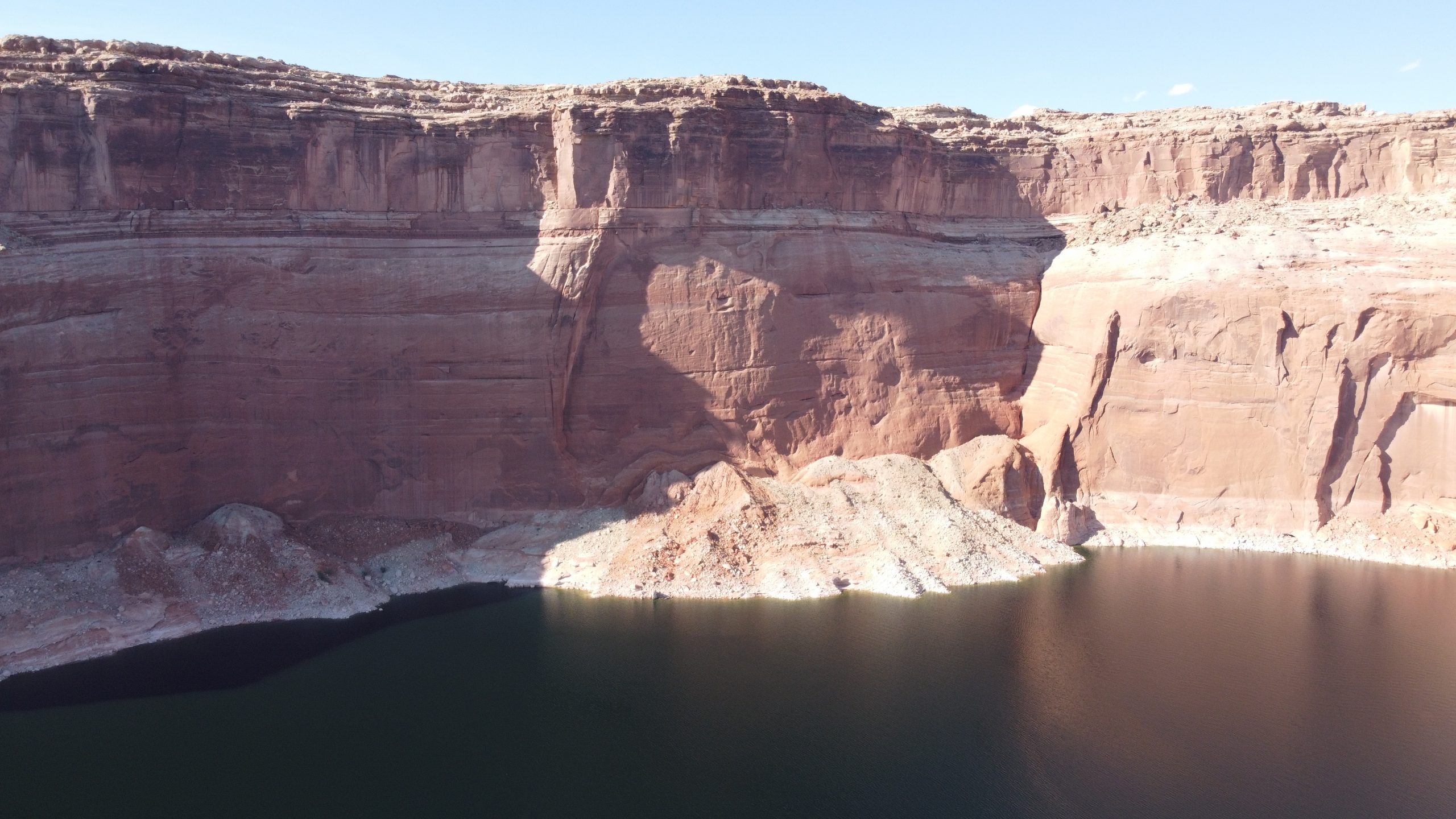
Vertical cliff from Grand Bench to Lake Powell
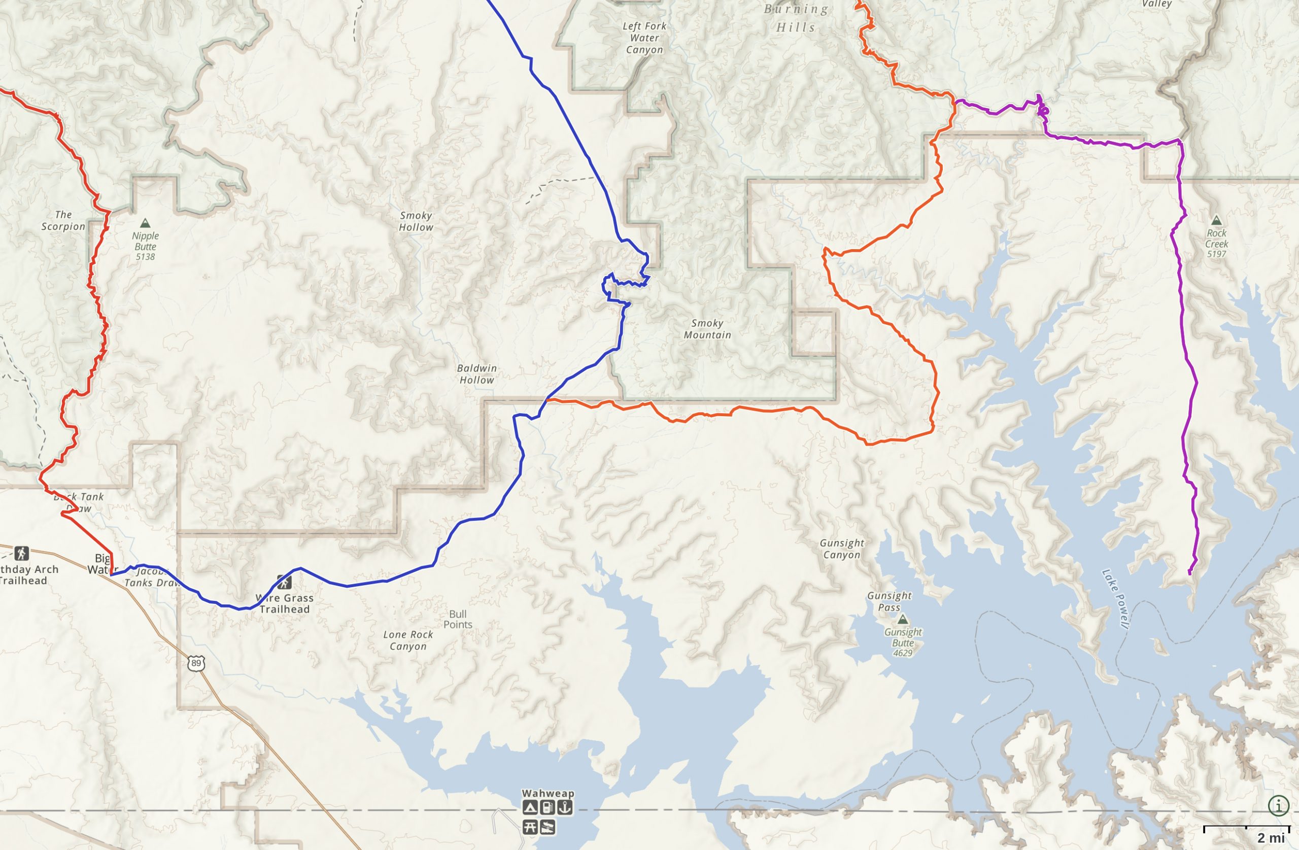
GPS Route: Lake Powell via Smokey Mountain Road and Grand Bench Road (Gaia GPS)