By Jon Crowley
Imperial Sand Dunes
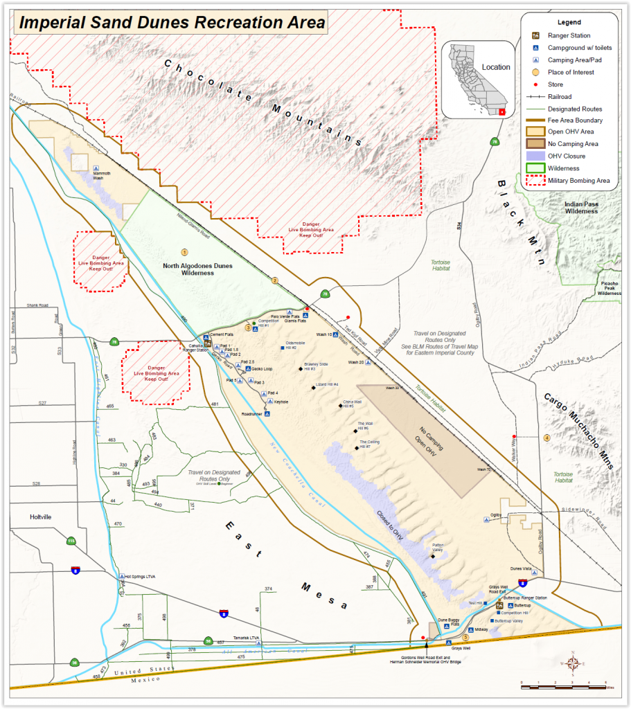
The Imperial Sand Dunes are the largest sand dunes open to off-highway vehicle use in the United States. The dunes begin 10 miles southeast of Niland and stretch all the way into Mexico, over 40 miles away. The dunes vary in width from about a quarter mile at the top end of the Mammoth Wash area, to about 5 miles in width below Highway 78. The Algodones Sand Dune system covers 1,000 square miles, making it one of the largest dune complexes in North America.
Glamis is considered the northern part of the OHV area at the Imperial Sand Dunes Recreation Area.The south part, near Interstate-8 includes Gordon’s Well, Buttercup and Ogilby (Interactive Satellite View of Glamis).
Riding with a destination in mind is always more fun for me, even in the dunes. The Imperial Sand Dunes Recreation Area is probably the most popular sand dune riding area in the world. On a recent trip to Glamis, we hit up a few spots I haven’t been to before (or at least not in a while). While not as popular at Oldsmobile Hill or the Sand Drags off of Gecko Road, some of these locations are a bit more off the beaten path and worth the effort to find.
Sunset Point
GPS 32.9770, -115.1268
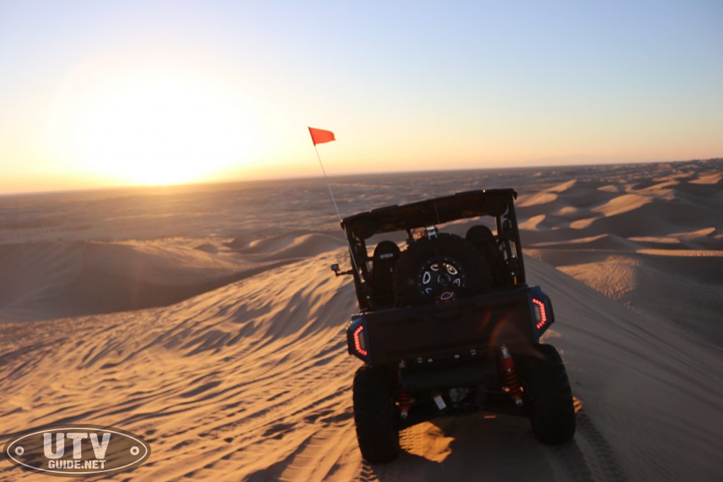
Watching the sun go down while off-roading never gets old and sunsets in the dunes are hard to beat. If you want to watch the sunset in Glamis, Sunset Point is the place to be. This spot is one of the taller peaks in Glamis and has a decent area for lots of vehicles to park so it isn’t a surprise that it has become to go-to spot.
And as you can see in this last video, Sunset Point attracts quite a crowd on busy weekends.
Swing Set
GPS – 32.90574, -115.07124
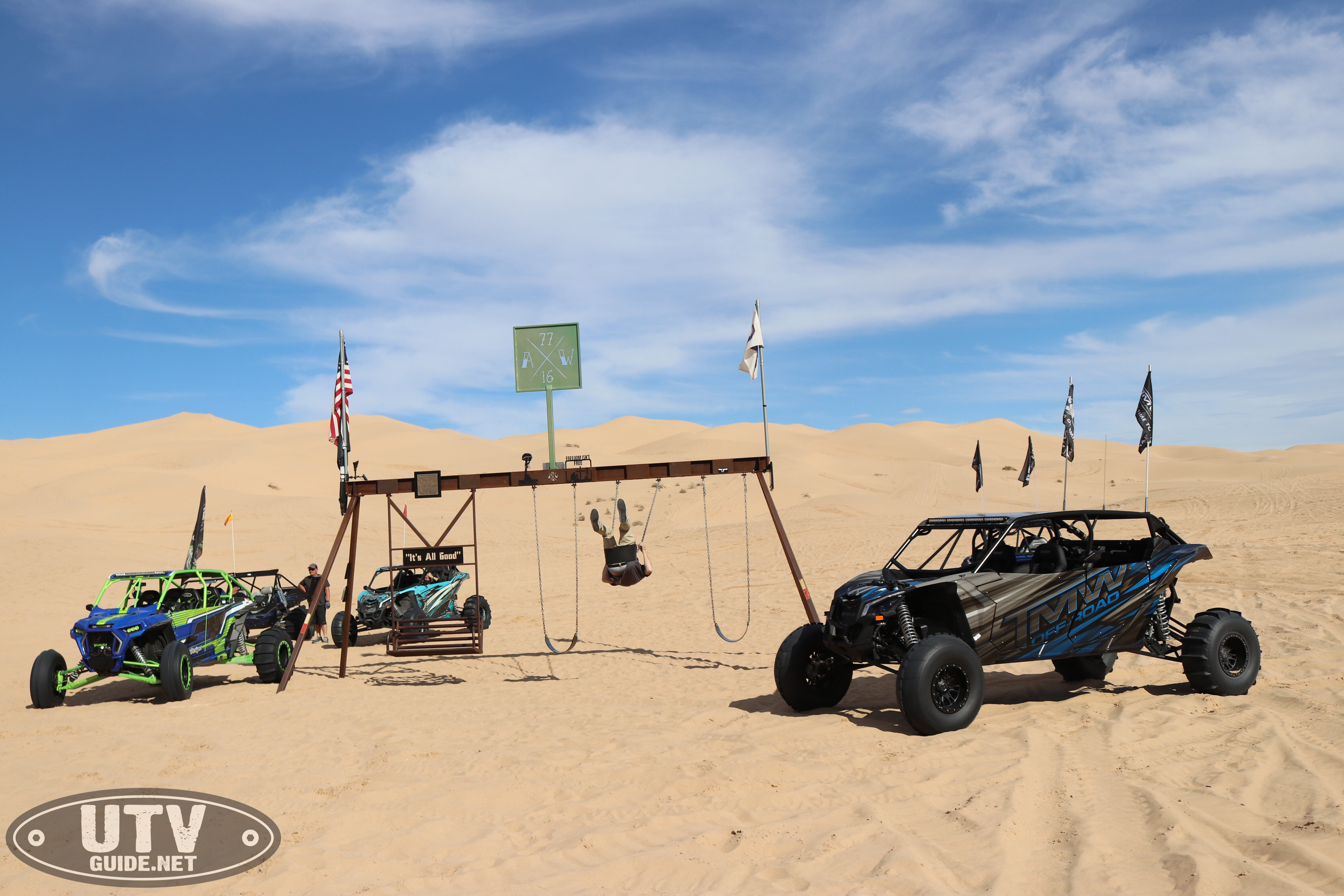
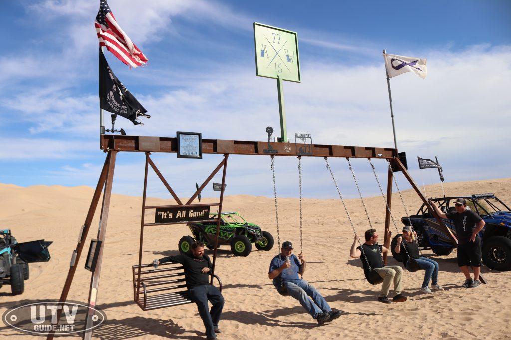
The swingset in Glamis was just built a few years ago after a friend of our lost his battle with Cancer. Art Wood loved the dunes and was a good friend to many so it is awesome to visit this place and remember him. If you’ve got kids, this is a definitely to put on your to-do list. The swing set isn’t far from the Flag Pole and is generally southwest of Oldsmobile Hill.
Flag Pole
GPS – 32.92343, -115.08121
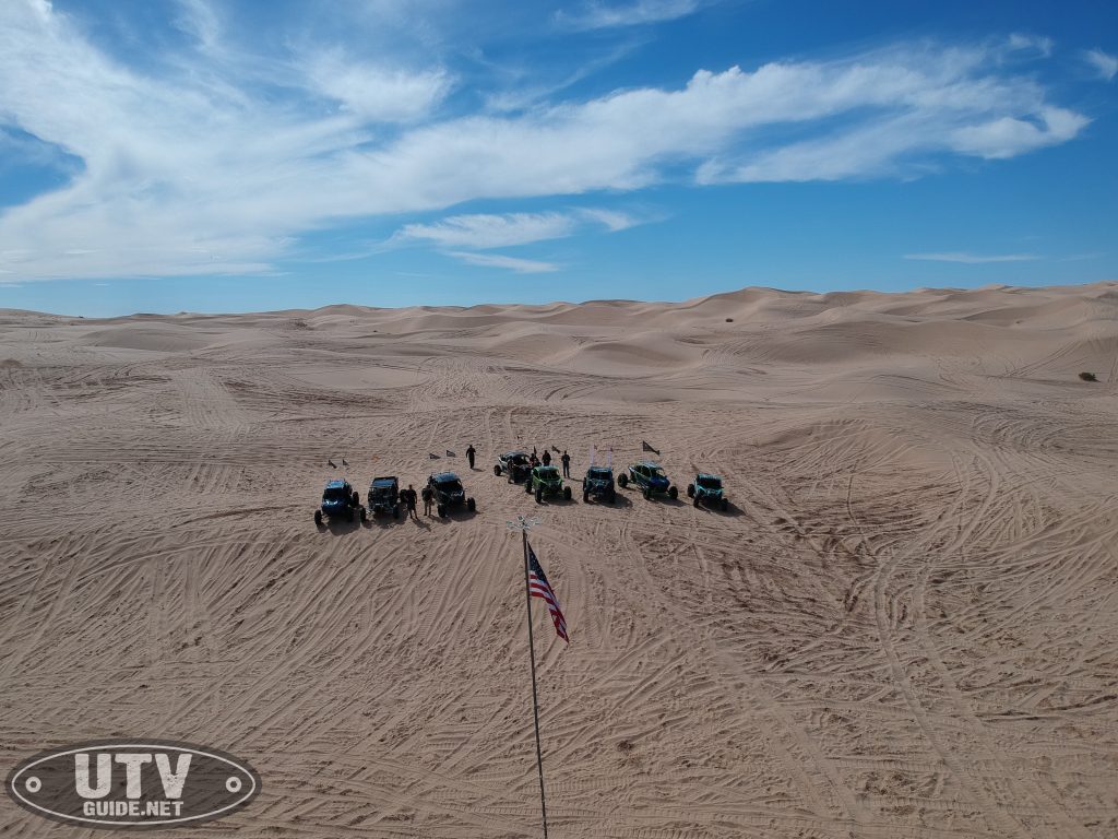
The Flag Pole in Glamis is placed on a large metal box and has become the place to be for Veteran’s Day in the dunes. The box is one of 4 or 5 that were supposedly dropped in the dunes and used for target practice for the military. The flag pole was placed around 2000 by an off-road group and now has a solar light up top to keep it lit up at night.
Veterans Day at the Flag Pole in Glamis
GlamisDunes.com hosts an annual ceremony every Veterans Day.
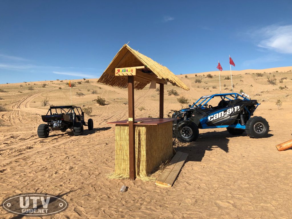
Tiki Hut or Carmen’s Landing
GPS – 32.88302, -115.095
The Tiki Hut is a newer destination that I had never heard of. It is about 2 miles or so south of Roadrunner campground (end of Gecko Road) and just west of the Sand Highway that runs from Roadrunner to Gordon’s Well.
There is a Tiki Bar, a teeter totter and even a BBQ.
There are lots more destinations to explore and even some GeoCaches if you take the time to search. Don’t get stuck in a rut going to the same places over and over again. Even without a GPS, you can use most newer smart phones to explore.
If you have a neat destination in the dunes, take a picture and tag us on Instagram (@utvguide) and we might just share it!
More Dunes Resources

